WHAT'S NEW?×
Services built on Destination Earth data to help cities monitor heat, floods, vegetation and water resources.
Cities concentrate people, assets and infrastructure exposed to climate extremes. The Smart Cities services combine Earth observation, climate projections and the DestinE Digital Twins to deliver maps, scenarios and indicators for urban planners, health authorities and civil protection.
Urban climate intelligence for european cities.
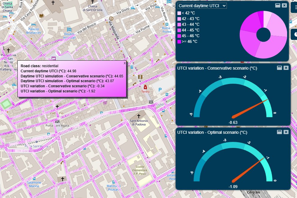
HEATSHIELD is an innovative urban climate intelligence service supporting European cities in the assessment, monitoring, and mitigation of outdoor thermal stress and urban heat island effects. The service combines EO data, climate projections, and advanced UTCI-based thermal comfort modelling to provide decision-support capabilities for climate resilience planning, sustainable urban development, and risk-informed policy making. A key innovative aspect is the integration of high-resolution urban modelling and what-if scenario simulations, enabling users to evaluate the impact of greening strategies, urban redesign interventions, and adaptation measures on thermal comfort conditions.
Standard
Advanced
 HEATSHIELD
Urban heat resilience planning and analytics suite.
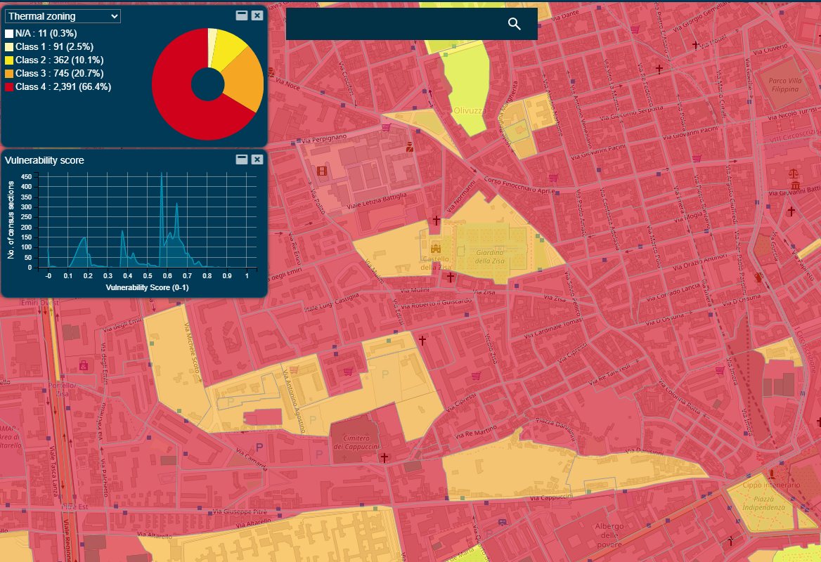
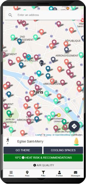
EXTREMA Global operates within the Urban Health sector and is fully aligned with the urban context and smart-city focus. It is structured around three core operational use cases: cooling infrastructure planning, to identify underserved areas and optimise cooling-space networks for spatial equity and investment efficiency; heat-health risk response, using vulnerability and exposure indicators to prioritise interventions during heat events; and heat-aware mobility and citizen engagement, with access to cooling spaces and cool routes via a mobile application whose user feedback feeds continuous network optimisation.
Standard
Advanced
Support to urban policies and decision making
Prioritization of actions in the city
Global flood risk intelligence.
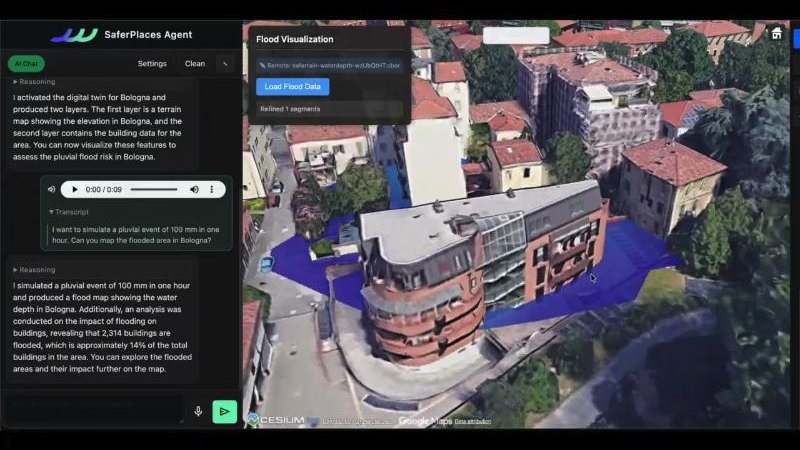
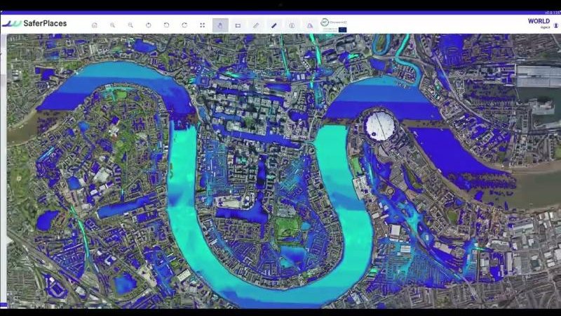
SaferPlaces is an Agentic AI Digital Twin for global flood risk Intelligence. The proposed AAS is a mature, cloud-native and modular service designed to transform Earth Observation data, climate simulations, weather information and DestinE Digital Twin outputs into high-resolution flood risk intelligence. Through an Agentic AI conversational interface, the service enables Civil Protection authorities, municipalities, utilities, infrastructure operators, planners, researchers and insurers to generate flood maps, assess exposed assets, run future climate scenarios and support decision-making before, during and after flood events.
Standard
Flood risk analytical workflows
Advanced
Ecosystem restoration and climate-adaptation decision support.
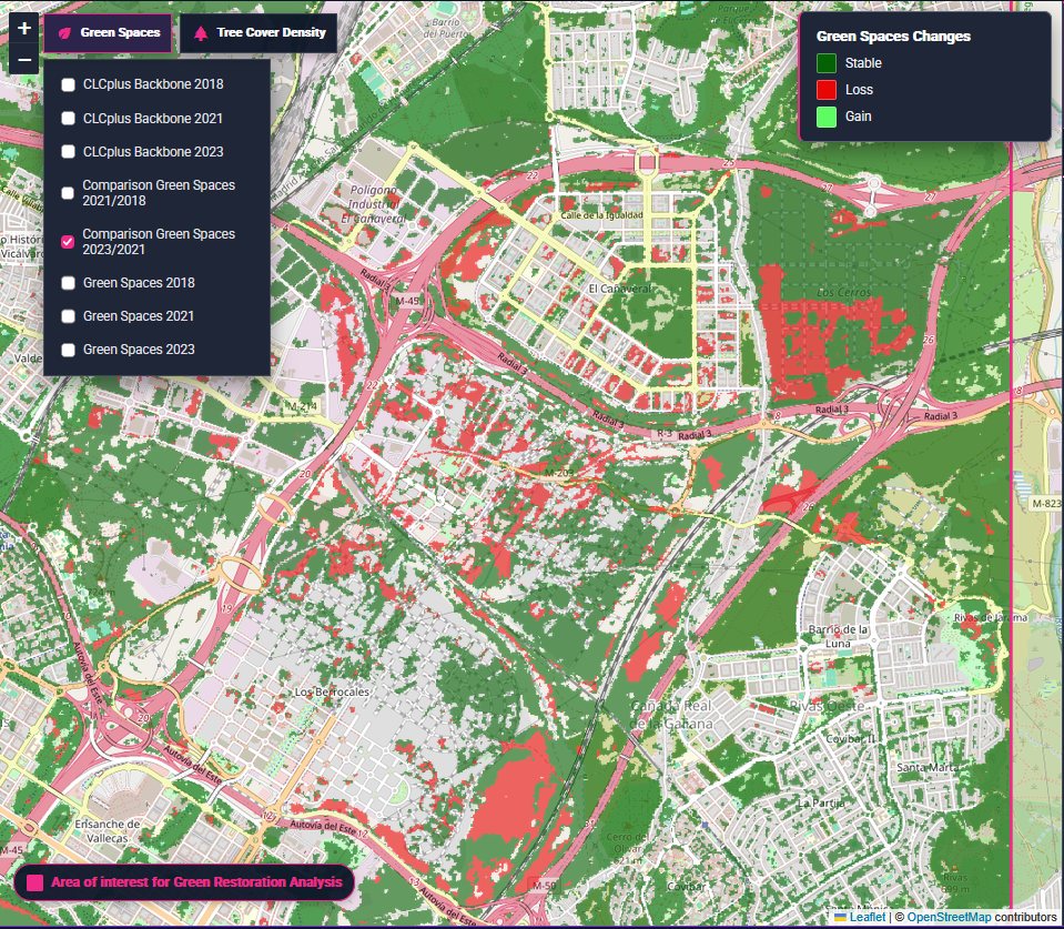
UrbanPulse is a web-based Advanced Application Service that turns Earth observation and climate data into city-level evidence for policy implementation and operational planning. It provides three main workflows supporting EU Nature Restoration Law implementation, EO-based vegetation health assessment, and climate-driven what-if scenario analysis for urban adaptation planning. UrbanPulse uses Copernicus Land Monitoring Service data, Sentinel-2 imagery, super-resolution Sentinel-2 products and climate projection datasets to support municipalities, urban planners, environmental agencies and climate adaptation offices.
Standard
Advanced
Unlimited asset-level Health Index
 UrbanPulse
Urban flood monitoring and weather prediction
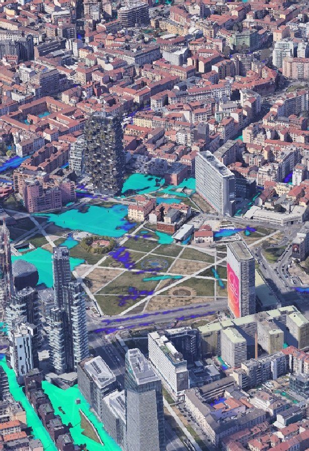
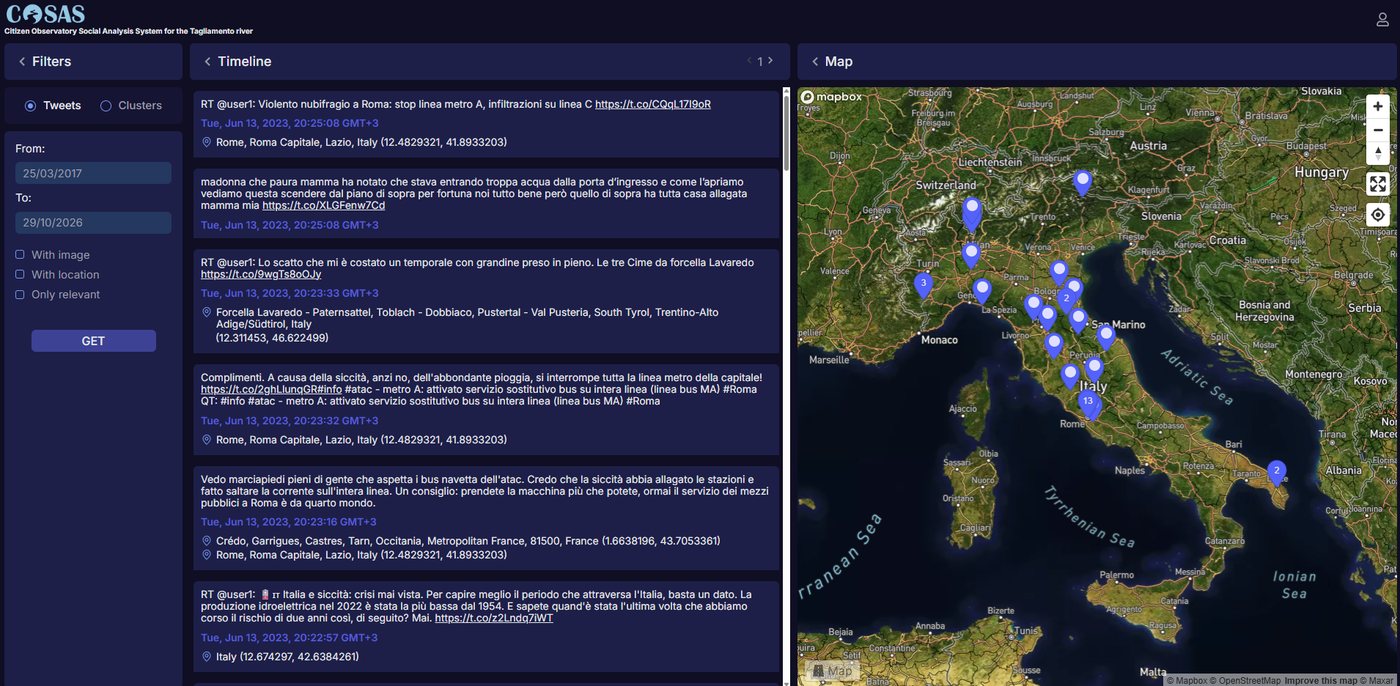
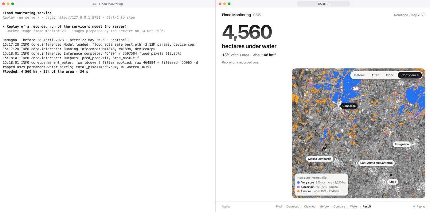
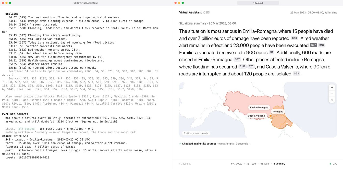
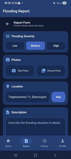
Crisis Spatial Intelligence Service (CSIS) is an AI-driven multi-source decision support system for urban flood monitoring that fuses Earth Observation data, numerical weather prediction outputs, social media intelligence and crowdsourced inputs from a dedicated mobile application. It supports three primary operational modes: real-time monitoring, what-if scenario building, and simulation of past events.
Standard
Advanced